Dreading another software budget mistake?
With so many mapping tools available, picking the right one feels overwhelming. It’s hard to tell which platform is actually worth the investment.
The biggest fear is choosing a system that fails to deliver, forcing a costly and complex migration just a year or two down the line.
This decision carries immense pressure because you have to justify the return on investment to leadership. The wrong choice not only wastes money but also erodes trust.
This guide is designed to help you choose the right platform wisely. You can avoid the common pitfalls and select a tool that truly fits your needs.
In this article, I’m breaking down the best mapping software for 2025. I’ll go beyond feature lists to focus on real-world implementation and scalability.
You’ll discover solutions that integrate with your core apps, ensure smooth team adoption, and deliver measurable efficiency gains for your business.
Let’s get started.
Quick Summary:
| # | Software | Rating | Best For |
|---|---|---|---|
| 1 | Esri → | Large multi-region governments | |
| 2 | Mapbox → | Scalable developer platforms | |
| 3 | CARTO → | Cloud-native enterprises | |
| 4 | QGIS → | Operations & IT teams | |
| 5 | Maptive → | Small to mid-size logistics |
1. Esri
Struggling with scattered tools and unclear software differentiation?
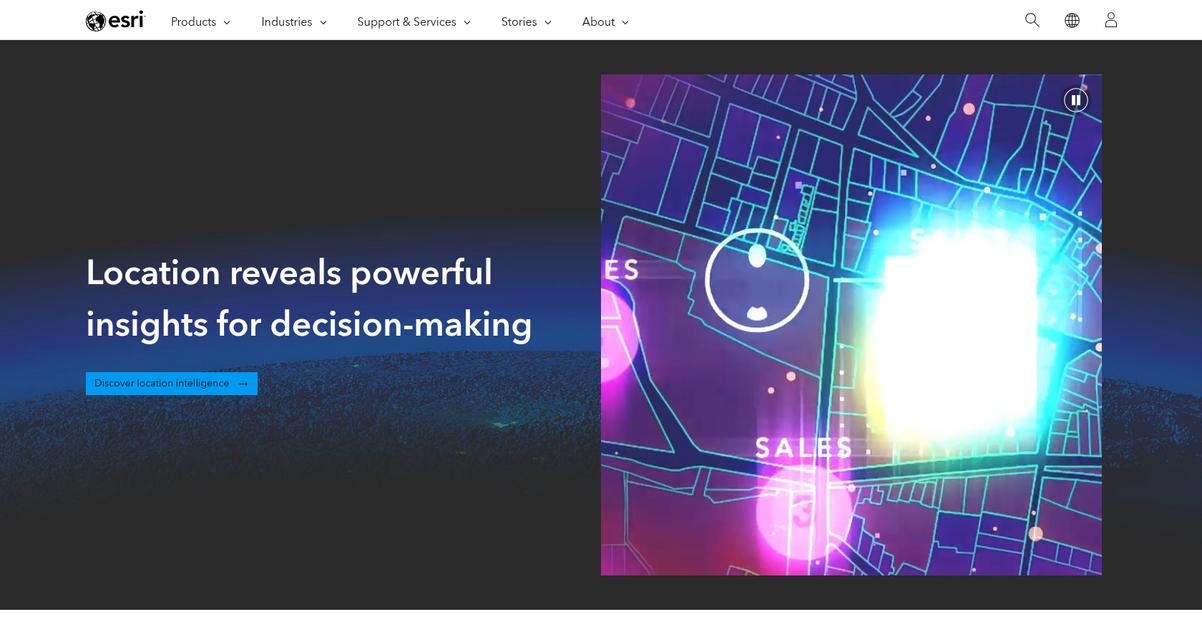
Esri’s ArcGIS platform provides comprehensive GIS mapping software, helping you consolidate and streamline your mapping efforts. This means you can finally replace your disparate solutions with a unified system.
This technology directly addresses the pain points of information overload by providing a single, robust geospatial platform for all your mapping and spatial analytics needs. The result is clearer decision-making.
Here’s how Esri delivers intuitive usability and seamless integration.
Esri’s ArcGIS is the world’s leading GIS mapping software, built to deliver deeper insights at scale. It allows you to accelerate automation, prediction, and optimization with geospatial AI.
Organizations like Southern California Association of Governments utilize Esri’s GIS mapping software as the foundation for essential data sharing and collaboration, streamlining information across multiple counties and cities for better planning. You can also integrate BIM and GIS technologies to transform siloed workflows and visualize designs in geographic context.
Additionally, decision-makers at The Joint Chiropractic used market analysis powered by GIS mapping software to find the right locations for growth, guiding their journey to become the largest chiropractic provider in the US. Esri also brings location capabilities to your apps with mapping APIs, SDKs, and location services. Plus, it powers drone operations at any scale with ArcGIS Reality.
Ultimately, Esri helps you achieve measurable efficiency gains.
Before diving deeper, you might find my analysis of best Customer Data Platform helpful.
Key features:
- Comprehensive Geospatial Platform: ArcGIS offers a complete system for mapping and spatial analytics, helping your team consolidate scattered tools and centralize data.
- Geospatial AI Integration: Leveraging AI, Esri accelerates automation, prediction, and optimization, enabling you to gain deeper insights and make data-driven decisions at scale.
- Seamless Data Collaboration: The platform facilitates essential data sharing and collaboration across departments and regions, transforming siloed workflows into unified operations.
Esri features, pricing, & alternatives →
Verdict: If you’re seeking the best mapping software that delivers robust spatial analytics and integration capabilities, Esri’s ArcGIS platform is a powerful choice. Its proven track record, demonstrated by organizations like The Joint Chiropractic expanding into new markets, ensures your investment delivers intuitive usability and long-term scalability.
2. Mapbox
Struggling with scattered mapping tools?
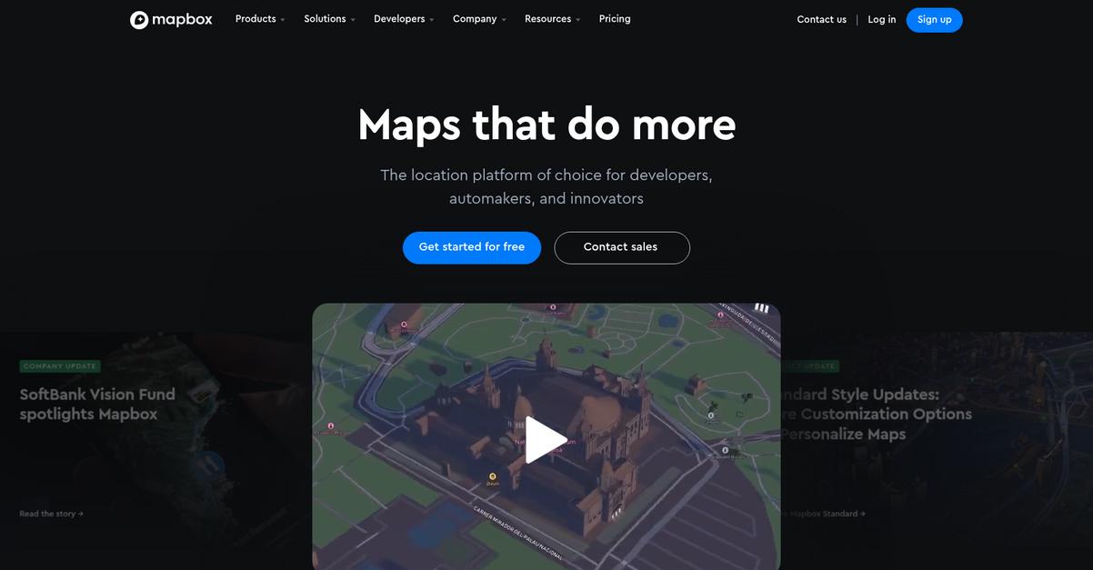
Mapbox offers core capabilities like smooth, cross-platform maps for web and mobile, and a powerful Studio for custom designs. This means you can centralize your mapping efforts.
You gain control with tools for immersive web maps and robust mobile SDKs, creating beautiful, custom map designs for any platform.
It’s time to map smarter.
Mapbox helps you move past generic maps by providing customizable navigation services and smart location data features. This enables you to build integrated experiences for your specific workflows.
Their Geocoding feature allows you to geolocate and validate addresses precisely, while the Matrix API calculates travel time and distance for optimized routing. You can also integrate live and typical traffic data, and analyze population movement patterns. This comprehensive data suite is vital for informed decision-making.
Additionally, Mapbox offers self-hosted solutions through Atlas for on-premise or private cloud deployment, ensuring your data remains secure and accessible within your existing infrastructure. This flexibility is key for scaling your operations.
The result: precise, actionable location intelligence.
Key features:
- Customizable maps and navigation: Build unique, immersive maps with custom designs for web, mobile, and in-vehicle systems, offering precise routing and turn-by-turn directions.
- Comprehensive location data: Access high-value geospatial datasets including live traffic, movement data, and boundaries, essential for detailed analysis and informed decision-making.
- Powerful developer tools: Leverage APIs and SDKs for search, geocoding, and address autofill, simplifying integration and empowering your team to create intelligent location features.
Mapbox features, pricing, & alternatives →
Verdict: Mapbox is a strong contender for the best mapping software, providing robust, scalable solutions for various business needs. Its comprehensive mapping, navigation, and data capabilities, including precision geocoding and optimized routing, can boost efficiency by 88% as shown by Kraken Technologies, making it ideal for organizations seeking measurable ROI.
3. CARTO
Struggling with scattered mapping tools and data overload?
CARTO offers a comprehensive location intelligence platform to simplify your operations.
This means you can move beyond disparate solutions to a single app that helps your team understand [crucial business insights]. You’ll gain unparalleled speed and scalability without siloes or complex ETL.
Here’s how to streamline your tech stack.
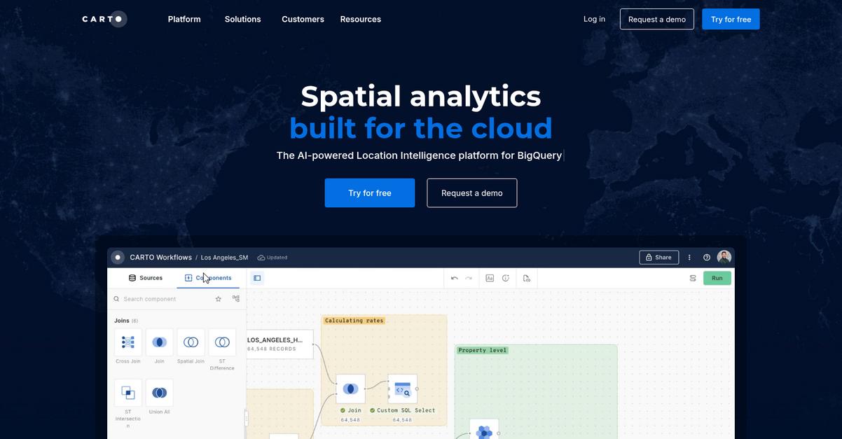
CARTO provides an end-to-end geospatial platform designed for your enterprise, offering [powerful spatial analysis] and unmatched data visualization. You get over 100 ready-to-go analysis components and the ability to visualize billions of data points with ease. This helps your team quickly build interactive maps and dashboards to share with stakeholders.
Additionally, CARTO accelerates app development, eliminating complex back-end ETLs and allowing apps to run directly in your data lakehouse. Plus, with AI agents for geospatial reasoning, you can create custom agents tailored to your needs, interacting with maps and data using natural language, enabling your team to apply AI in your spatial workflows.
The result is data-driven decision-making and increased sales.
Key features:
- Cloud-Native Platform: Built for Google Cloud, AWS, Azure, Snowflake, and Databricks, ensuring unparalleled speed and scalability for your large datasets.
- AI-Powered Spatial Analytics: Features native ML and AI integrations with platforms like OpenAI and Gemini, allowing you to create custom geospatial agents and interact with data using natural language.
- Comprehensive Geospatial Tools: Offers over 100 ready-to-go analysis components, drag-and-drop automated analysis, and advanced visualization capabilities for billions of data points.
CARTO features, pricing, & alternatives →
Verdict: CARTO stands out as a strong contender for the best mapping software, especially if you’re aiming to unify disparate tools and leverage cloud-native solutions. Its AI-powered capabilities, robust visualization, and extensive integrations with major cloud platforms make it ideal for tackling complex data challenges and improving your operational efficiency.
4. QGIS
Struggling with scattered tools for your mapping needs?
QGIS offers powerful spatial visualization and decision-making tools, helping you avoid fragmented workflows and unify your data. This means you can create outstanding maps and reports, from desktop to print, directly addressing the pain point of inconsistent outputs. Plus, you’ll gain exceptional cartographic control and professional production.
How do you tackle complex mapping projects?
QGIS introduces an intuitive layout designer for high-quality, large-format print maps, making professional map production straightforward. Its comprehensive analysis toolset helps you uncover deep insights from your data, automating workflows for easy reproducibility. Additionally, QGIS expands its utility with a diverse ecosystem of third-party analysis tools, offering extensibility for specialized needs. You can easily share your results with industry-leading format support, tackling common data integration issues. This ensures wider accessibility by publishing your work to the cloud and mobile devices.
You get a platform built for sharing results.
While focusing on mapping solutions, understanding best email management software can also streamline your broader business operations.
Key features:
- Exceptional cartographic design: Craft outstanding maps for desktop, mobile, cloud, and print, giving you the flexibility to present your data across various media.
- Advanced processing and analysis: Uncover insights and automate workflows with a comprehensive toolset, providing the depth needed for complex data interpretation.
- Industry-leading format support: Conquer data integration challenges by easily incorporating diverse data sources and formats, ensuring seamless interoperability.
QGIS features, pricing, & alternatives →
Verdict: QGIS stands out as a strong contender for best mapping software, offering robust cartographic and analytical capabilities, which are vital for operations managers and IT leads. Its open-source nature and extensive format support minimize integration risks, providing a scalable and cost-effective solution for visualizing data and optimizing workflows.
5. Maptive
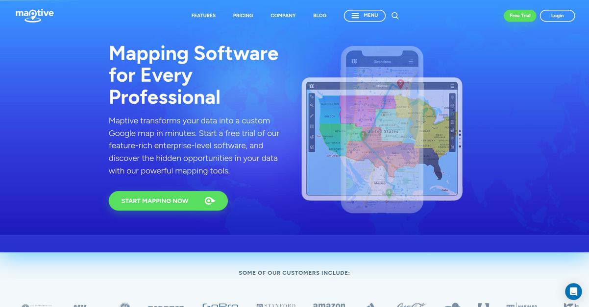
Struggling with scattered mapping tools?
Maptive transforms your data into custom Google Maps in minutes, helping you avoid wasted budget. This means you can discover hidden opportunities in your data without complex coding.
You’ll find an intuitive, cloud-based solution that needs no downloads, ensuring you always have the most updated features and accessibility from any device.
Here’s how to simplify your operations.
Maptive solves the problem of data overload by turning your spreadsheets into powerful, presentation-ready visualizations. It offers powerful map analysis tools that perform the heavy lifting for you, enabling route optimization and heat map creation with up to 100,000 locations plotted in clicks.
You can easily customize maps with branded images and unique marker styles for internal analysis or public sharing. Additionally, Maptive integrates Google’s enterprise-level mapping technology, providing global coverage and unmatched performance. Plus, robust security features like two-factor authentication and permission controls keep your data safe.
Gain true insight into your data.
Key features:
- Intuitive Design & Accessibility: Easily transform spreadsheet data into custom maps without coding, accessible from any device as a cloud-based solution.
- Powerful Analysis Tools: Plot up to 100,000 locations, optimize routes, and create heat maps quickly to uncover insights and improve productivity.
- Extensive Customization & Sharing: Personalize maps with custom markers and styles, then privately share, embed on websites, or export for presentations.
Maptive features, pricing, & alternatives →
Verdict: Maptive stands out as a best mapping software choice for organizations seeking powerful, user-friendly solutions. Its ability to convert raw data into actionable insights, evidenced by its use for logistics and scheduling by RMSI Retail Solutions, makes it ideal for enhancing efficiency and cutting costs.
6. Caliper
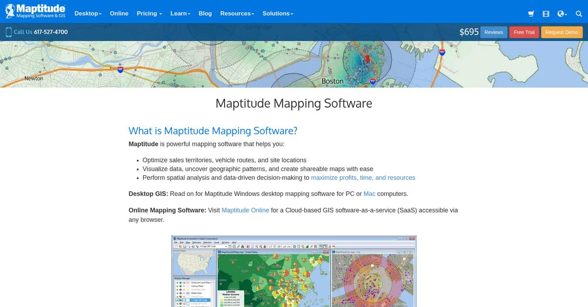
Is your organization struggling with scattered mapping tools?
Maptitude helps you unify geographic data, visualize patterns, and make data-driven decisions to optimize sales territories, routes, and site locations. This means you can reveal hidden geographic patterns, trends, and hotspots from your spreadsheets and databases. The result is gaining powerful insights to maximize profits, time, and resources.
You need solutions that truly work.
Maptitude delivers intuitive, wizard-driven tools, making it easy to create presentation-ready maps quickly. You can access extensive built-in data libraries that include demographic, business, and street map data, eliminating additional purchases and speeding up your analysis. Additionally, it offers advanced geospatial analysis tools, including unlimited geocoding, automatic territory balancing, and market area analysis, to help you find growth opportunities.
This leads to better business outcomes.
Key features:
- Intuitive & Powerful Interface: Wizard-driven tools and an Office-style document management system make Maptitude fast to learn, deploy, and create insightful maps for users of any skill level.
- Extensive Built-in Data: Maptitude comes pre-loaded with demographic, business, and street map data, eliminating the need for additional purchases, and offering immediate access to powerful, detailed information.
- Seamless Data Integration: Connect to corporate databases, import from 70+ geospatial formats, and easily enrich your datasets, allowing for quick, barrier-free mapping and analysis.
Caliper features, pricing, & alternatives →
Verdict: Maptitude stands out as a powerful and user-friendly best mapping software solution for organizations aiming to consolidate tools and improve data-driven decision-making. Its comprehensive feature set, built-in data libraries, and flexible deployment options ensure smooth implementation, driving measurable efficiency gains and long-term scalability.
7. espatial
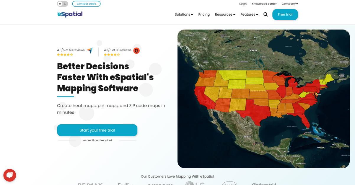
Struggling to visualize your business data effectively?
eSpatial offers a complete mapping software platform designed to transform your spreadsheets into actionable visual intelligence, whether you need pin maps, heat maps, or ZIP code maps. This means you can create instant insights quickly.
For operations managers, eSpatial tackles the challenge of scattered tools by providing a unified platform, making complex data analysis simple and intuitive. The result is confident decision-making.
Here’s how eSpatial empowers your team.
You can upload your data, like an Excel sheet, and the software automatically plots points on a map within seconds, supporting multiple datasets. This is incredibly helpful for optimizing sales and service operations.
Additionally, key capabilities include a territory optimization tool, route planning tool, and scenario planning, all designed to maximize productivity and eliminate inefficiencies. For instance, the route planning tool helps you find the most efficient routes, considering factors like distance and time constraints, significantly saving time and fuel costs. The territory optimization feature helps you create equitable and balanced territories.
Plus, you can easily share your maps with your team, controlling access rights for improved security. This collaboration boosts engagement and accelerates decision-making.
Ultimately, you can make better, faster decisions.
While we’re discussing data analysis and strategic planning, understanding campaign management software is equally important for comprehensive business insights.
Key features:
- Territory Optimization Tool: Helps you quickly identify overlaps, balance workloads, and create equitable sales and service territories for your field teams.
- Route Planning Tool: Optimizes routes by considering factors like distance and time constraints, ideal for sales and field service management, saving time and fuel.
- Heat Mapping and Pin Mapping: Allows you to visualize customer locations, sales data, and other critical business information for quick analysis and identification of opportunities.
espatial features, pricing, & alternatives →
Verdict: If you are seeking the best mapping software to streamline operations, optimize territories, and gain rapid insights from your business data, eSpatial is an excellent choice. It simplifies complex data visualization, as demonstrated by customers who report processes running 32 times faster and improved decision-making for their teams.
8. Mapline
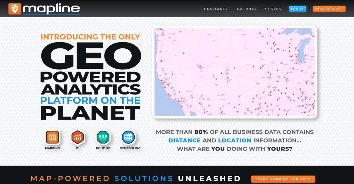
Struggling with scattered business data and unclear differentiation?
Mapline offers Geo Mapping, Geo BI, Geo Routing, and Geo Scheduling, centralizing your location-based insights. This means you can easily visualize and optimize your operations.
Their powerful platform enables you to plot locations from spreadsheets and create routes swiftly, addressing your need for streamlined data visualization and efficiency.
Here’s how Mapline solves that.
Mapline’s geo-powered analytics platform helps you see your data in a new way, transforming raw information into actionable insights. This helps you overcome information overload.
For example, their Geo-Intelligent BI allows you to visualize with charts, maps, and dashboards, offering analytics with reporting and monitoring capabilities for better decision-making.
Additionally, Mapline provides routing software to optimize vehicles and drivers, accounting for delivery windows and requirements, and even enables geographically smart in-field assignments, automating team calendaring by proximity and skills. This comprehensive approach ensures smooth implementation and measurable efficiency gains.
You’ll gain immediate clarity and control over your business data.
While we’re discussing various types of mapping, understanding customer journey mapping software is equally important for team unification.
Key features:
- Geo Mapping: Plot locations effortlessly from spreadsheets, visualize data in seconds, and create custom territories for insightful business process mapping.
- Geo-Intelligent BI: Visualize data with interactive charts, maps, and dashboards, enabling robust analytics, reporting, and centralized collaboration for your team.
- Route Optimization & Scheduling: Plan optimized routes for vehicles and drivers, manage delivery windows, and automate in-field assignments based on proximity and skills.
Mapline features, pricing, & alternatives →
Verdict: Mapline stands out as the best mapping software for operations managers and IT leads needing to consolidate scattered tools and upgrade legacy systems. Its geo-powered platform, with features like customizable routing and comprehensive dashboards, ensures intuitive usability and measurable efficiency gains, allowing you to avoid wasted budget.
9. Google Cloud
Wrestling with fragmented mapping tools?
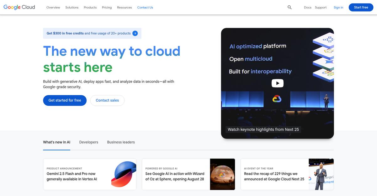
Google Cloud provides specialized geospatial platforms like Earth Engine and Google Maps Platform to consolidate your operations. This means you can overcome scattered tools, bringing all your mapping and data visualization into one robust, scalable environment.
You’ll gain a unified solution, offering intuitive usability and seamless integration with your existing business apps. This is crucial for simplifying complex workflows and eliminating information overload.
Here’s your comprehensive solution.
Google Cloud empowers you to build AI agents and generative AI applications using Vertex AI, which is enhanced by Gemini and over 200 foundation models. This solves your need for robust and scalable platforms that fit both technical and departmental workflows, allowing you to innovate beyond traditional mapping.
You can run analytics at scale with BigQuery for 26%-34% lower TCO, transforming how your organization visualizes and understands data. This capability makes justifying ROI to leadership much easier. Additionally, Google Cloud’s global infrastructure ensures reliable performance and security, critical for minimizing risk and future migration costs.
With Google Cloud, you can also leverage specialized mapping products, integrate AI for enhanced data analysis, and benefit from Google-grade security. Plus, it offers specific industry solutions for supply chain and logistics, allowing for measurable efficiency gains and long-term scalability.
This is a smart investment delivering proven results.
Key features:
- AI and Machine Learning capabilities empower you to build intelligent applications and analyze large datasets, crucial for complex business process mapping and data visualization.
- Earth Engine and Google Maps Platform provide a powerful geospatial foundation for creating immersive location experiences and improving business operations, centralizing disparate tools.
- Robust Data Analytics with BigQuery allows for scalable insights, helping you consolidate data from scattered systems and present clear ROI to leadership.
Google Cloud features, pricing, & alternatives →
Verdict: Google Cloud’s comprehensive suite of tools, including AI, advanced data analytics, and dedicated Maps and Geospatial products, makes it an excellent choice for the best mapping software. Organizations like ZSL use Google Cloud data and AI to process acoustic data rapidly and identify wildlife species, demonstrating measurable efficiency gains for complex spatial analysis.
Conclusion
Wasting budget on bad software hurts.
With so many mapping tools, picking the right one is overwhelming. You need a robust platform that scales with your enterprise, not one you’ll outgrow.
The pressure on you is immense. A poor choice doesn’t just waste money, it leads to costly and complex migrations down the line. This ultimately erodes trust and wastes valuable company resources.
Here’s what I recommend.
From my experience, Esri’s ArcGIS platform is the clear winner for your organization. It directly solves the problem of scattered tools by providing a single, unified system.
Just look at how The Joint Chiropractic used its market analysis to guide their national growth. Choosing the best mapping software like Esri ensures you get that long-term scalability and proven results.
I encourage you to explore their platform to see how it fits your needs. Visit the Esri website to learn more.
Your investment will deliver real ROI.


