Are your 3D models accurate enough?
When your 3D models are off, they can derail entire construction projects, leading to costly rework and frustrating delays for your team.
The real problem is choosing a tool when every vendor makes conflicting claims about precision. It’s tough to know which software delivers.
Investing in the wrong platform risks compatibility issues with your CAD software and can fail under real-world project demands, wasting valuable time and budget.
Beyond this, ensuring the smooth operation of your entire tech stack is vital. My guide on best data migration software helps maintain data integrity during system changes.
But the right software can change that. It will boost your 3D modeling accuracy and integrate with your existing workflow, ensuring project success.
In this guide, I’ll walk you through my picks for the best photogrammetry software. I’ve focused on tools that enhance precision for professionals like you.
You’ll discover solutions to streamline project timelines, reduce manual surveying, and help you maintain compliance with industry standards.
Let’s dive in.
Quick Summary:
| # | Software | Rating | Best For |
|---|---|---|---|
| 1 | RealityCapture → | Construction & mapping firms | |
| 2 | Pix4D → | Large-scale survey enterprises | |
| 3 | 3Dflow → | Construction & heritage pros | |
| 4 | Artec 3D → | Engineering & surveying firms | |
| 5 | PhotoModeler → | Engineering & manufacturing SMEs |
1. RealityCapture
Struggling with inconsistent 3D model accuracy?
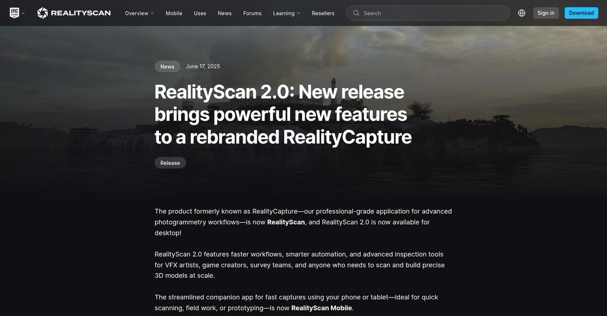
RealityScan 2.0 brings powerful new features like smarter automation and advanced inspection tools. This means you can build precise 3D models at scale.
This improved image alignment and quality analysis means you’ll know if your model lacks coverage before wasting time on cleanup or rework.
Here’s how RealityScan helps.
You can streamline your workflow from raw photos to reconstruction-ready data. Plus, AI Masking automatically removes backgrounds, so there’s no need to manually mask.
RealityScan now supports aerial LiDAR data, allowing you to combine aerial imagery and terrestrial data to improve the accuracy of your mapping and surveying tasks. This is perfect for simulation or mapping environments where real-world fidelity matters, ensuring your projects meet critical standards and scale effortlessly.
The result is better model consistency with fewer manual interventions.
Before diving deeper, you might find my analysis of eLearning authoring tools helpful for your other digital initiatives.
Key features:
- AI Masking: Automatically removes image backgrounds using trained segmentation, streamlining your workflow from raw photos directly to reconstruction-ready data without manual masking.
- Smarter Alignment: Features new default settings that improve image alignment, especially on minimal surfaces, ensuring better model consistency and reducing manual intervention for users.
- Aerial LiDAR Support: Allows you to combine aerial imagery, LiDAR, and terrestrial data for precise orthographic projections and 3D models, significantly improving mapping accuracy.
Learn more about RealityCapture features, pricing, & alternatives →
Verdict: If you’re looking for the best photogrammetry software to boost your 3D modeling accuracy, RealityScan 2.0 stands out with its AI-assisted masking, smarter alignment, and aerial LiDAR support. These features directly address the pain points of technical evaluators by providing precise 3D models for construction planning and mapping tasks.
2. Pix4D
Struggling with complex 3D modeling and mapping?
Pix4D offers specialized software for professional drone and terrestrial mapping, enhancing accuracy.
This means you can overcome the challenges of integrating diverse data sources and achieve survey-grade accuracy for your projects, especially for large-scale photogrammetry operations.
Here’s how.
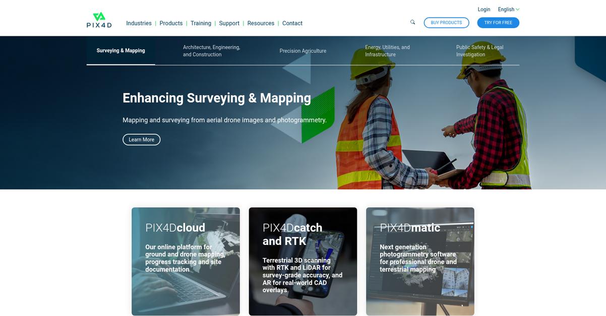
Pix4D provides an online platform for ground and drone mapping, simplifying progress tracking and site documentation. You can also utilize terrestrial 3D scanning with RTK and LiDAR for survey-grade accuracy, and AR for real-world CAD overlays. Additionally, the next-generation photogrammetry software, PIX4Dmatic, empowers professional drone and terrestrial mapping workflows. Plus, your organization can access dedicated support representatives, unlocking scalability for enterprise-level demands.
The result? Streamlined workflows from capture to output.
While we’re discussing optimizing workflows for specialized tasks, you might also find my guide on best advertising agency software helpful for marketing projects.
Key features:
- Online cloud platform: Facilitates ground and drone mapping, progress tracking, and site documentation, ensuring accessible project oversight.
- Survey-grade accuracy: Achieved through terrestrial 3D scanning with RTK and LiDAR, alongside augmented reality for CAD overlays, enhancing precision.
- Professional mapping software: PIX4Dmatic, designed for large-scale photogrammetry, supports both drone and terrestrial data, optimizing complex projects.
Learn more about Pix4D features, pricing, & alternatives →
Verdict: Pix4D stands out as a strong contender for the best photogrammetry software, offering solutions for surveying, construction, and public safety. Its specialized tools, like PIX4Dmatic, provide professional drone and terrestrial mapping capabilities for superior accuracy and efficient project execution, as demonstrated in damage assessment and architectural design use cases.
3. 3Dflow
Struggling with complex 3D modeling and photogrammetry?
3DF Zephyr offers a versatile, user-friendly photogrammetry solution designed to automatically reconstruct 3D models from diverse image and video data.
This means you can capture data with various cameras, lenses, or even different focal lengths within the same session, allowing you to use your existing equipment effectively.
It’s all about making your process more efficient.
3DF Zephyr solves common project challenges.
It allows you to process aerial and ground photogrammetry, including videos, spherical pictures, and even multispectral or thermal imagery, all within a single software platform. The result is consistently accurate 3D models for diverse needs, from mapping to cultural heritage. You can also import and register laser scan data natively, combining photogrammetry and LiDAR for comprehensive 3D as-built data. This comprehensive toolkit includes professional selection and editing tools, BIM integration, and batch processing, allowing you to accurately scale, georeference, and calculate distances, volumes, and areas.
You’ll effortlessly generate true orthophotos, DSMs, DTMs, and NDVI maps.
Before diving deeper, you might find my analysis of best Amazon seller tools helpful if you’re managing an online business.
Key features:
- Automatic 3D Reconstruction: Generate precise 3D models automatically from diverse image and video data captured with any camera setup, reducing manual effort and improving accuracy.
- Integrated Data Processing: Process aerial, ground, multispectral, and thermal imagery, plus native laser scan data, all within one platform for a complete and versatile workflow.
- Comprehensive Toolkit & Deliverables: Utilize professional editing tools, BIM integration, and batch processing to create true orthophotos, DSMs, DTMs, and export models in common formats.
Learn more about 3Dflow features, pricing, & alternatives →
Verdict: 3DF Zephyr stands out as a strong contender for the best photogrammetry software. Its ability to process various data types, from drone imagery to laser scans, and its comprehensive toolkit make it ideal for anyone seeking precise 3D models for construction, mapping, or cultural heritage.
4. Artec 3D
Struggling with achieving precise 3D modeling accuracy?
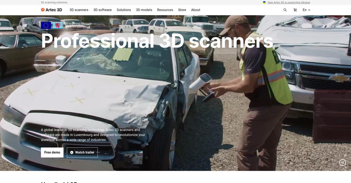
Artec 3D offers robust solutions to transform your photogrammetry workflow. This means you can overcome the common hurdles of balancing accuracy with project costs.
Specifically, Artec Studio’s AI Photogrammetry lets you transform any photos or video into stunning 3D models, directly addressing concerns about data transformation and model quality.
Here’s your pathway to enhanced precision.
Artec 3D’s specialized software, like Artec Studio 19, provides an all-in-one solution to create, refine, and analyze ultra-realistic 3D models. This directly tackles your need for high-fidelity output.
You can turn scan data into editable solid CAD models using Geomagic Design X, ensuring seamless integration with your current CAD or geospatial tools for diverse applications like reverse engineering or quality inspection. Additionally, Artec Cloud enables you to back up, store, share, sync, and view your 3D scan data on any browser, improving collaboration and data accessibility.
This comprehensive approach helps streamline project timelines and reduces manual efforts, [delivering reliable results for critical tasks] such as construction planning or agricultural monitoring, and minimizing your learning curve.
The result is superior 3D modeling accuracy.
While focusing on project efficiency, you might also find value in understanding [best time clock software] for optimizing administrative tasks.
Key features:
- AI Photogrammetry: Transform any photos or video into high-quality 3D models, ideal for capturing intricate details and complex geometries without needing a dedicated scanner.
- Comprehensive Mesh Editing: Artec Studio’s 3D Modeling capabilities allow you to create textured, true-to-life 3D models with robust mesh editing tools for refining your outputs.
- Seamless CAD Integration: Solutions like Geomagic Design X enable direct conversion of scan data into editable solid CAD models, streamlining workflows for reverse engineering and inspection.
Learn more about Artec 3D features, pricing, & alternatives →
Verdict: Artec 3D, with its AI Photogrammetry and robust integration capabilities, stands out as a strong contender for best photogrammetry software. It directly addresses the need for high-fidelity 3D models and seamless CAD integration, making it ideal for construction, surveying, and engineering firms prioritizing precision and workflow efficiency.
5. PhotoModeler
Tired of balancing 3D modeling accuracy with budget?
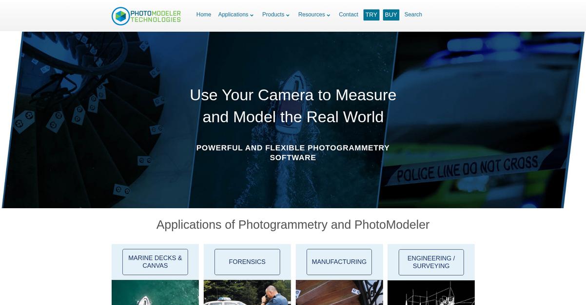
PhotoModeler extracts precise measurements and models directly from your photographs. This means you can achieve accurate 2D and 3D measurement and surveying without complex equipment.
Your investment in specialized tools can be significant; PhotoModeler offers a cost-effective way for accurate 2D and 3D measurement. It turns your ordinary camera into a powerful photogrammetry tool.
Here’s a simpler solution for you.
PhotoModeler streamlines your projects by allowing you to generate models and measurements directly from standard photos. You can easily perform photo-digitizing and 3D scanning, significantly reducing manual surveying efforts.
This software offers precise output for essential applications like engineering, surveying, and manufacturing, ensuring high-fidelity 3D models for precise planning. Plus, it provides input into CAD/CAM systems, so it integrates with your existing workflows.
Additionally, PhotoModeler supports diverse use cases, from marine fabrication and forensics to even mining and geology, demonstrating its versatility. It aims to reduce implementation time and complexity, delivering dependable results for your critical projects.
Achieve reliable, accurate results with ease.
If you’re also looking for ways to streamline your business operations, my article on best virtual agent software provides insightful recommendations.
Key features:
- Accurate 2D and 3D measurement: Get precise data and models directly from photographs taken with your existing camera, simplifying your measurement tasks.
- Cost-effective photogrammetry solution: Utilizes standard cameras to provide affordable and accessible 3D modeling, digitizing, and surveying capabilities for your business.
- CAD/CAM input and integration: Seamlessly integrates with your current design workflows, allowing you to export measurements and models directly into CAD/CAM software.
Learn more about PhotoModeler features, pricing, & alternatives →
Verdict: If your firm needs a high-accuracy, cost-effective photogrammetry solution that leverages existing camera equipment for diverse applications like engineering and manufacturing, PhotoModeler stands out. Its ability to extract precise 2D and 3D measurements directly from photos, coupled with CAD/CAM integration, makes it suitable as a best photogrammetry software for streamlining project timelines and reducing manual efforts.
6. DroneDeploy
Need to capture every detail on your job site?
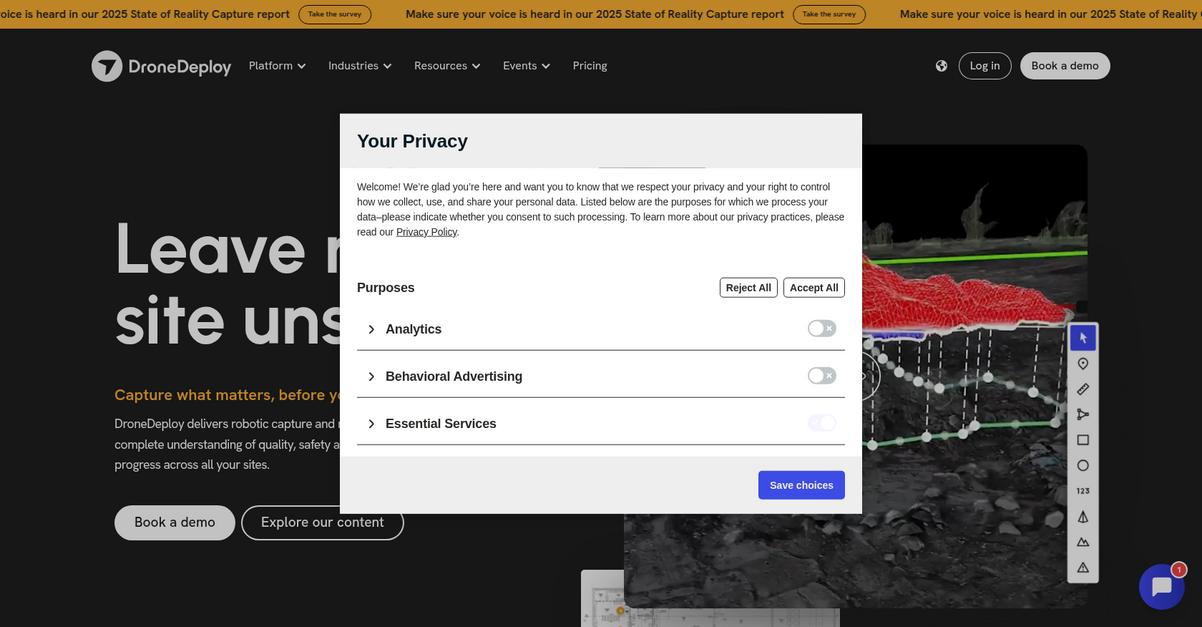
DroneDeploy Aerial and Ground products help you capture and organize photos, generate maps, and inspection reports. This means you can easily document existing conditions and logistics, improving bidding accuracy and team readiness.
Additionally, you can track progress with high-resolution maps, ensuring accurate quantities and efficient planning across all project phases. This eliminates the hidden costs of poor documentation.
Here’s how DroneDeploy makes it happen.
DroneDeploy unifies reality capture, allowing you to view sites and assets from every angle over time, comparing designs with 2D maps, 3D models, meshes, and point clouds.
You can automate site inspections and monitor framing, waterproofing, and facade installations with automated drone captures. This ensures enhanced safety and streamlined quality checks, reducing rework and maintaining transparency on what’s behind the walls.
Plus, its real AI, trained on the largest collection of geolocated imagery, supercharges your staff with quality, safety, and progress tracking, providing real-time analysis and automated reporting for various industries like construction, oil & gas, and renewable energy. This delivers an unbiased view of your sites.
Get an unbiased view of all your sites.
Key features:
- Automated Data Capture: Fly commercial drones and walk sites with 360 cameras to capture and organize photos for comprehensive site documentation and inspection reports.
- Unified Reality Platform: Combine aerial and ground data, enabling you to compare designs with 2D maps, 3D models, meshes, and point clouds from a single login.
- AI-Powered Analysis: Leverage real AI, trained on extensive geolocated imagery, to detect safety risks, automate progress tracking, and generate real-time reports.
Learn more about DroneDeploy features, pricing, & alternatives →
Verdict: DroneDeploy stands out as the best photogrammetry software for technical evaluators due to its unified robotic capture and AI capabilities. It streamlines site documentation, automates inspections, and provides precise 3D models, enabling better planning, reduced rework, and enhanced safety across all project phases. This comprehensive solution directly addresses the challenges of accuracy, integration, and scalability.
7. 3Dsurvey
Struggling with complex 3D modeling and data extraction?
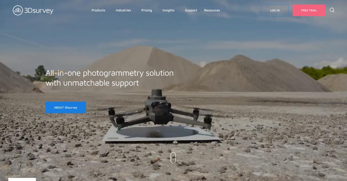
3Dsurvey offers an all-in-one photogrammetry solution, compatible with various drones and data types. This means you can integrate your existing equipment seamlessly.
You gain full control over processing workflows to create highly detailed point clouds and orthophotos. This helps improve accuracy and planning for your projects.
Here’s how 3Dsurvey streamlines your workflow.
3Dsurvey addresses common pain points by providing an intuitive user interface and robust tools for surveying, construction, and mining. This simplifies your entire process from capture to sharing.
You can extract crucial data using the integrated CAD engine, calculate volumes, and generate contour lines. This comprehensive suite eliminates the need for multiple software tools, saving you time and effort. Additionally, you can easily share 3Dsurvey results with clients, allowing them to view and inspect models on any device, which really enhances collaboration.
This leads to better project outcomes and client satisfaction.
While we’re discussing advanced data analysis in construction, understanding thermal analysis software is also crucial for building design.
Key features:
- All-in-one photogrammetry solution: Supports any drone, camera, and data type, simplifying your workflow from capture to detailed data extraction.
- Integrated CAD engine: Enables direct data extraction for volume calculations, contour lines, and cross-sections, all within a single software platform.
- Effortless result sharing: Easily share 3D models and data with clients, allowing basic inspections and measurements on any device.
Learn more about 3Dsurvey features, pricing, & alternatives →
Verdict: For professionals in land surveying, construction, and surface mining, 3Dsurvey stands out as the best photogrammetry software. Its all-in-one platform with an integrated CAD engine and easy sharing capabilities truly enhances accuracy and streamlines project management, as seen in various industry case studies.
Conclusion
Inaccurate 3D models still a problem?
Choosing the right tool is overwhelming. Conflicting claims about precision make it nearly impossible to know which platform will actually deliver for your projects.
Investing in the wrong software doesn’t just waste your budget. It risks critical project failure and can seriously damage your firm’s reputation with costly, time-consuming rework.
So, here’s what I recommend.
From my experience, RealityCapture is the clear winner. Its advanced, automated features directly solve the accuracy challenges that derail complex projects.
The AI Masking and aerial LiDAR support are game-changers for precision. I consider it the best photogrammetry software for achieving real-world fidelity and project success without a steep learning curve.
For additional insights into selecting powerful business software, my analysis of best conversational support software provides valuable perspectives.
I highly recommend you check out RealityCapture pricing to see how its powerful features can transform your workflow and boost model quality.
Your modeling accuracy will improve immediately.
