Struggling with complex project data?
Making sense of dense spreadsheets and disparate spatial data for your critical planning decisions can feel incredibly overwhelming and inefficient.
The real issue is that poor data visualization leads to flawed strategies and missed opportunities, hindering your organization’s growth and efficiency.
Furthermore, Archivemarketresearch notes that high initial investment costs create major adoption barriers. This challenge often leaves teams struggling with outdated, inefficient tools.
But the right software doesn’t have to be complex or expensive. It should simplify your planning process and deliver clear, actionable insights.
In this guide, I’m going to break down the best GIS software available. I’ll help you find a solution that cuts through the noise and fits your specific needs and budget.
You’ll discover how to evaluate key features, ensuring your choice boosts your team’s analytical power and overall strategic planning.
Let’s get started.
Quick Summary:
| # | Software | Rating | Best For |
|---|---|---|---|
| 1 | Esri → | Large enterprise planners | |
| 2 | QGIS → | Mid-sized org GIS teams | |
| 3 | Hexagon → | Technical GIS specialists | |
| 4 | Mapbox → | Developers & mobile apps | |
| 5 | Caliper → | Transportation & planning teams |
1. Esri
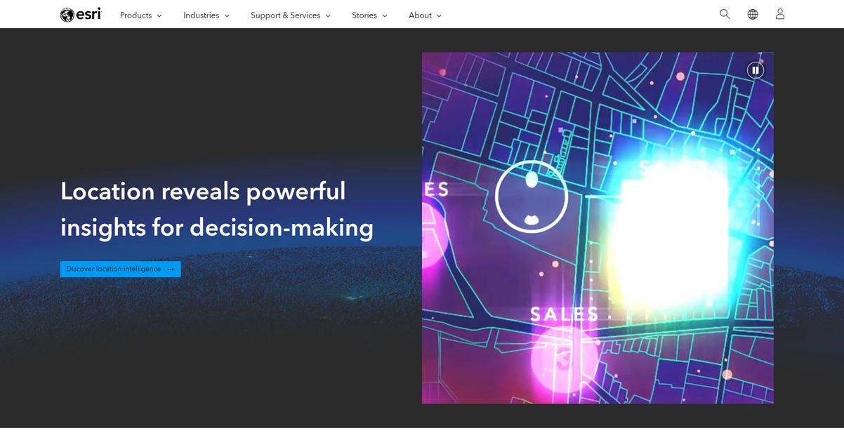
Feeling overwhelmed by complex geospatial data?
Esri’s ArcGIS platform brings clarity to your toughest planning challenges. This means you can cut through the noise to make truly informed decisions.
Its comprehensive geospatial platform enables deep spatial analytics, helping your organization transform regional planning and data sharing. You gain the tools to streamline information.
Here’s how Esri can help.
The ArcGIS platform combines advanced GIS mapping software with geospatial AI, which helps accelerate automation, prediction, and optimization. This means you can achieve deeper insights at scale, making your market targeting more precise and efficient.
For example, The Joint Chiropractic used market analysis powered by Esri’s GIS mapping software to find the right locations for business growth. Plus, for architectural and engineering firms, Esri integrates GIS and BIM technologies to visualize designs geographically and track issues, transforming what were once siloed workflows between teams. This innovative combination allows for seamless collaboration and proactive problem-solving, significantly improving project outcomes from design to construction.
The result: optimized resource allocation and a competitive market position.
Key features:
- Geospatial AI integration: Accelerates automation, prediction, and optimization for deeper insights at scale, ideal for market analysis and strategic planning.
- Comprehensive GIS mapping software: Facilitates essential data sharing and collaboration across diverse groups, streamlining information for better decision-making.
- BIM and GIS integration: Transforms siloed design and environmental workflows, enabling seamless collaboration, geographic visualization, and efficient issue tracking for infrastructure projects.
Esri features, pricing, & alternatives →
Verdict: Esri’s ArcGIS platform stands out as a best GIS software solution, delivering precise geospatial analytics for market segmentation and risk assessment. Its integration of AI and BIM technologies helps organizations like The Joint Chiropractic achieve remarkable growth and firms like Ramboll transform complex infrastructure projects, optimizing resource allocation and improving overall operational efficiency.
2. QGIS
Navigating geospatial complexity for precise business insights?
QGIS offers spatial visualization and decision-making tools tailored for your organization’s unique needs. This means you can create outstanding maps and analyze data effectively.
With its class-leading cartography, QGIS empowers you to bring your maps to life with extensive design options. You can produce high-quality, large-format print maps using an intuitive layout designer.
This simplifies intricate geospatial analysis.
QGIS delivers state-of-the-art analysis tools, seamlessly integrated into its toolbox, allowing you to uncover deep insights from your data. You can also build automated analysis workflows by visually combining tools for easily reproducible processes, which means less manual effort for your team.
Its exceptional digitizing proficiency helps you craft and edit points, lines, polygons, and meshes with precision, ensuring your data is always accurate. Additionally, you get highly customizable forms to create user-friendly interfaces, simplifying data collection. Plus, QGIS offers industry-leading format support, conquering data integration challenges from various sources, making it a versatile tool for your existing systems.
The result is optimized resource allocation.
While optimizing data insights, don’t overlook the importance of efficient communication. My guide on best virtual PBX systems can help your team connect seamlessly.
Key features:
- Comprehensive analysis toolset: Uncover insights and automate workflows to streamline your data analysis processes, ensuring reproducibility and efficiency for your team.
- Exceptional cartographic design: Craft outstanding maps for various media, bringing your data to life with extensive design options and professional production capabilities.
- Industry-leading format support: Conquer data integration challenges by supporting diverse data sources and formats, ensuring seamless interoperability with your existing systems.
QGIS features, pricing, & alternatives →
Verdict: QGIS stands out as a top contender for the best GIS software, particularly for mid-sized organizations seeking precise geospatial analytics without compromise. Its powerful digitizing tools, comprehensive analysis capabilities, and extensive cartographic design features make it ideal for market segmentation and risk assessment, directly addressing your pain points.
3. Hexagon

Struggling with overwhelming GIS complexity and budget constraints?
Hexagon’s solutions capture, create, immerse, and activate data, transforming physical assets into precise digital insights. This means you can decode complexity with digital precision, giving you clarity in decision-making. This allows you to align advanced features with your budget.
This translates into precise geospatial analytics for market segmentation.
Here’s how Hexagon delivers.
Hexagon helps you achieve precise geospatial analytics and seamless integration. It offers AI-enabled portfolios for industry-specific workflows, delivering smarter, faster results. Additionally, you can utilize advanced sensors to precisely capture physical assets, combining them with spatial technology and AI for actionable insights that optimize your resource allocation.
Plus, Hexagon’s Nexus platform allows you to boost productivity with AI and digitalization, offering seamless integration across Hexagon and third-party systems. This ensures competitive market positioning and improved response strategies for your operational environments.
Ultimately, you gain a competitive edge.
Before diving deeper into data insights, you might find my analysis of best data recovery software helpful.
Key features:
- Precision Digital Capture: Digitize and position any physical asset, combining advanced sensors and spatial technology for highly accurate data capture and analysis.
- AI-Driven Insights: Leverage Hexagon’s AI-enabled portfolio to accelerate business processes, power industry-specific workflows, and deliver smarter, faster results with high-value ROI.
- Integrated Digital Twins: Utilize advanced scanners and AI to create comprehensive digital twins of physical assets, providing actionable insights for informed decision-making and operational improvements.
Hexagon features, pricing, & alternatives →
Verdict: For technical decision-makers and GIS specialists navigating complex evaluations, Hexagon stands out as a best GIS software solution. Its ability to decode complexity with digital precision, powered by AI and integrated digital twins, allows you to optimize resource allocation and enhance market positioning, as demonstrated by customers like Oracle Red Bull Racing achieving 50% fewer faults.
4. Mapbox
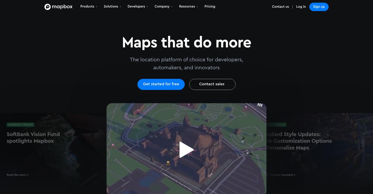
Struggling with complex geospatial data for your business?
Mapbox offers immersive web maps with GL JS and powerful Mobile Maps SDKs for iOS and Android, allowing you to build custom map designs effortlessly.
This means you can visualize property listings, rental options, and market data to gain competitive insights and improve decision-making.
So, how can you unlock deeper location intelligence?
Mapbox simplifies development and account management through its new console, making it easy to integrate sophisticated mapping solutions.
You can leverage their smart location data, including Geocoding for address validation, Search Box for user-friendly interfaces, and Address Autofill for quicker data entry, enhancing your operational efficiency.
Additionally, Mapbox provides unique, high-value geospatial datasets like Traffic Data for live conditions, Movement Data for population patterns, and Boundaries for official regions, enabling you to optimize resource allocation and competitive market positioning.
The result is precise geospatial analytics.
Key features:
- Smooth, fast, cross-platform maps: Build highly customizable maps for web, mobile, automotive, and AR, ensuring consistent experiences across all your platforms.
- Custom navigation services: Deliver accurate traffic-aware travel times, optimized routes, and intuitive turn-by-turn directions for mobile and in-vehicle applications.
- Comprehensive location data: Access global datasets for traffic, movement, and boundaries to generate deeper insights and enhance your overall data analysis.
Mapbox features, pricing, & alternatives →
Verdict: If you need precise geospatial analytics for market segmentation, optimized resource allocation, and enhanced operational response, Mapbox is the best GIS software for your organization. Its real-time data and customizable solutions, evidenced by an 88% boost in engineer efficiency for Kraken Technologies, ensure you cut through complexity.
5. Caliper
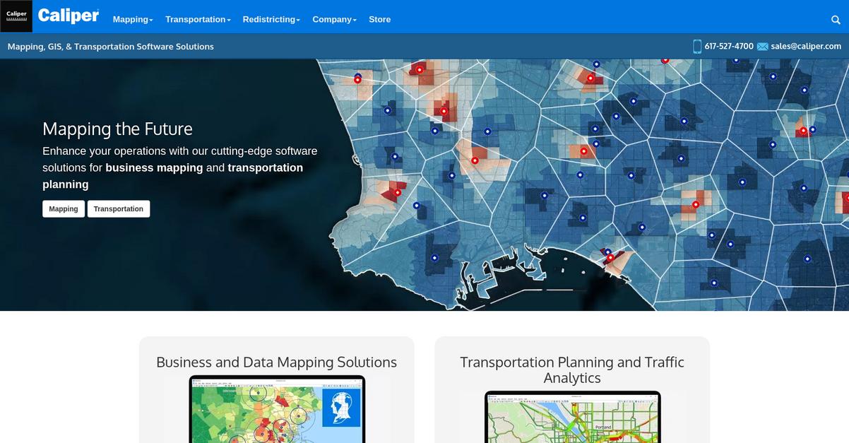
Struggling with complex geospatial data and operational planning?
Caliper offers robust business mapping and transportation planning software, enabling you to understand markets and optimize your operations with ease.
This means you can move beyond fragmented data and legacy tools, as Caliper helps you create stunning maps and visualizations to gain valuable geographic insights for smarter decisions.
It’s time to truly map the future.
Caliper’s Maptitude mapping software is designed to help you analyze demographic and business data, supporting strategic planning for sales, marketing, and site selection. You can also optimize territories, routes, and market segmentation, directly addressing your pain points in resource allocation.
Additionally, for transportation planning, TransCAD and TransModeler provide specialized tools to model travel demand, simulate traffic, and evaluate mobility projects. This empowers your organization to ensure efficient and safe transit, reducing operational risks and supporting your competitive market positioning goals. The result is comprehensive, data-driven planning and improved response strategies.
While we’re discussing strategic planning, understanding how social CRM software can deepen customer bonds is equally important for a holistic business strategy.
Key features:
- Intuitive Business Mapping: Understand markets, optimize territories and routes, and plan strategically with intuitive tools for data visualization and analysis.
- Comprehensive Transportation Planning: Utilize TransCAD and TransModeler to model travel demand, simulate traffic, and optimize transit and freight flows for efficiency.
- Cloud-based Web Mapping: Access Maptitude Online for cloud-based mapping of the USA, with desktop map sharing, offering flexibility and accessibility for your team.
Caliper features, pricing, & alternatives →
Verdict: Caliper provides a comprehensive suite of tools that make it the best GIS software for organizations seeking to cut through complexity. Its capabilities for business mapping and transportation planning ensure precise geospatial analytics for optimized resource allocation and market positioning.
6. CARTO
Struggling with complex GIS software and data migration?
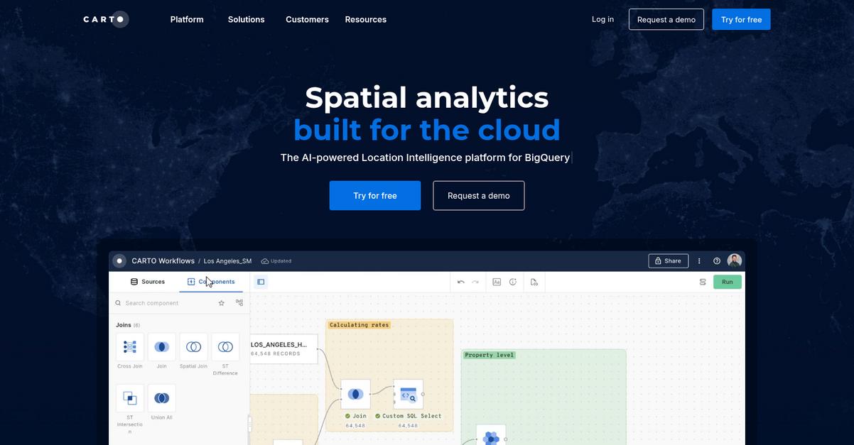
CARTO offers a comprehensive platform specifically built for the cloud, bringing unparalleled speed and scalability to your geospatial analysis without silos or complex ETL processes.
This means you can streamline your tech stack with an end-to-end geospatial platform designed for your enterprise needs, ensuring uncompromised security and ease of use for everyone on your team.
Time to embrace smarter geospatial solutions.
CARTO seamlessly integrates into your existing cloud ecosystem, whether you use Google Cloud, AWS, Azure, Snowflake, or Databricks, eliminating data migration headaches and enabling real-time insights for optimizing resource allocation.
You can leverage their powerful spatial analysis with over 100 ready-to-go analysis components and native AI integrations, allowing you to model complex scenarios and make data-driven decisions without extensive coding. This means faster insights into market segmentation, risk assessment, and operational environments for your team.
Additionally, their unmatched data visualization capabilities handle billions of data points with ease, creating interactive maps and dashboards for effective stakeholder collaboration. Plus, CARTO’s AI Agents for geospatial reasoning at scale, integrate with tools like OpenAI, Gemini, and Cortex, making spatial analysis accessible with natural language interactions.
The result is optimized resource allocation.
Key features:
- Cloud-native platform: Provides unparalleled speed and scalability by integrating directly with major cloud data warehouses like BigQuery, Redshift, and Snowflake.
- Powerful spatial analysis: Offers over 100 ready-to-go analysis components, native ML and AI integrations, and automated workflows via a drag-and-drop interface.
- Advanced visualization & AI: Visualizes billions of data points through interactive maps and dashboards, complemented by AI Agents for natural language interaction with data.
CARTO features, pricing, & alternatives →
Verdict: CARTO positions itself as a robust, cloud-native option for those seeking the best GIS software, particularly for mid-sized organizations and GIS specialists. Its integration with major cloud platforms and AI-powered analytics, as demonstrated by Vodafone’s success in data monetization, enables precise geospatial analysis for market segmentation, optimized resource allocation, and competitive market positioning.
7. Precisely
Struggling with complex GIS software decisions?
Precisely offers a comprehensive Data Integrity Suite designed to integrate your critical data to verify, locate, and enrich your critical data. This means you can confidently make decisions based on trusted, contextual information.
Your mid-sized organization or professional services firm will find that Precisely helps overcome the overwhelm of feature evaluation and budget constraints, providing accurate geospatial analytics for targeted market segmentation.
How can you unlock better insights?
Precisely’s Locate capabilities turn raw data into actionable insights through robust location intelligence. This means you can gain precise geospatial analytics essential for market targeting and risk assessment.
You can also use Precisely’s Enrich products to enhance decisions with business, location, and consumer insights, including detailed addresses, boundaries, demographics, points of interest, and streets data. The result is optimized resource allocation and improved response strategies. Additionally, the Verify suite ensures data trust and understanding for confident decision-making, while its integration options support compatibility with your existing enterprise systems like CRM and ERP platforms, simplifying data migration.
The result is better planning and improved operations.
While discussing advanced data solutions, understanding financial analytics software can significantly boost your overall business forecasting.
Key features:
- Location Intelligence: Utilizes Precisely MapInfo Pro and Spectrum Spatial for turning spatial data into actionable insights, vital for market segmentation and risk assessment.
- Data Enrichment: Provides a robust suite of data including Addresses, Boundaries, Demographics, Points of Interest, and Streets for comprehensive analytical enhancement.
- Integration and Verification: Offers Precisely Connect and Spectrum Quality for integrating data across various platforms and verifying its accuracy for trusted decision-making.
Precisely features, pricing, & alternatives →
Verdict: Precisely stands out as the best GIS software for mid-sized organizations and professional services. Its focus on accurate, trusted, and enriched location data through capabilities like MapInfo Pro and its comprehensive Data Integrity Suite ensures precise geospatial analytics for market targeting and risk assessment, streamlining your planning and operational efficiency.
Conclusion
Tired of complex geospatial data?
Choosing the right GIS tool can be paralyzing. You’re balancing advanced features, tight budgets, and the need for seamless integration with your existing systems.
Archivemarketresearch highlights how AI and GIS integration opens new market expansion avenues. This integration is no longer a luxury; it’s becoming essential for a real competitive edge in your market.
This is where my top pick shines.
From my evaluation, Esri’s ArcGIS platform truly excels at cutting through this complexity. It turns sophisticated data into the clear, actionable strategies your organization needs.
Its powerful integration of AI and BIM makes it the best GIS software for optimizing resource allocation and driving growth, just as it did for The Joint Chiropractic.
While optimizing your planning with GIS, if you’re also looking to improve financial workflows, my guide on best mobile banking software offers valuable insights.
I highly recommend you visit the Esri website to see how their powerful solutions can directly boost your team’s planning and efficiency.
You’ll gain a clear competitive advantage.


