Struggling with slow, costly land surveys?
You’re likely dealing with overwhelming manual processes and high-risk field operations that stretch your project timelines and budget thin.
The real issue is that choosing the right survey partner feels impossible, with complex compliance standards and unclear pricing structures adding to the pressure.
Traditional survey methods often introduce human error, leading to costly rework. These inaccuracies can derail project schedules and erode your profit margins before you even break ground.
The right drone service provider can solve this by delivering fast, accurate, and compliant data that keeps your projects on track and under budget.
In this guide, I’ll break down the best drone services for you. We will compare providers that can optimize your results and cut survey costs.
You’ll discover how to select a service that fits your specific industry needs, ensuring measurable ROI and seamless integration with your existing workflows.
Let’s get started.
Quick Summary:
| # | Software | Rating | Best For |
|---|---|---|---|
| 1 | DroneDeploy → | Construction and real estate firms | |
| 2 | Propeller → | Construction and mining companies | |
| 3 | PrecisionHawk → | Technical evaluators in agriculture | |
| 4 | Pix4D → | Surveying and construction firms | |
| 5 | Coming Soon → | To be determined |
1. DroneDeploy

Struggling with site oversight and project delays?
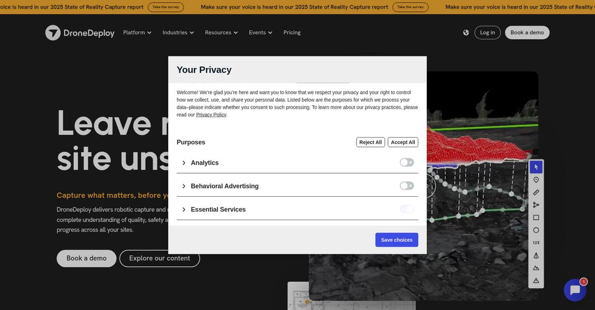
DroneDeploy Aerial and Ground products help capture comprehensive data for your sites, simplifying complexity.
This means you can document existing conditions and track progress effortlessly, eliminating disputes and ensuring accuracy.
Get an unbiased view of all your sites.
DroneDeploy unifies data from drones, 360 cameras, and ground robots, giving you complete lifecycle visibility. This allows you to compare designs with 2D maps, 3D models, and point clouds, preventing costly rework.
Additionally, DroneDeploy’s Safety AI monitors job sites, detects risks, and prevents incidents with real-time analysis and automated reporting, enhancing worker safety. This comprehensive approach provides clarity on what’s happening on your site, even before things are covered up. The result? Optimized project results and reduced survey costs.
While optimizing project workflows, effective communication is key. My guide on best intercom software explores how to streamline support.
Key features:
- Unified Reality Capture: Integrate aerial and ground data, including 360 cameras and ground robots, for a complete, holistic view of your entire site.
- AI-Powered Insights: Leverage real AI models for quality, safety, and progress tracking, providing domain-specific intelligence for your operations.
- Automated Site Monitoring: Streamline inspections and data collection across various project phases, from pre-construction to operations and maintenance.
Learn more about DroneDeploy features, pricing, & alternatives →
Verdict: DroneDeploy stands out as one of the best drone services for its ability to integrate diverse reality capture data, providing unbiased site visibility and AI-powered insights for construction, agriculture, and real estate. This helps cut survey costs and optimize project outcomes.
2. Propeller

Struggling with complex drone data and costly surveys?
Propeller streamlines your operations by providing survey-grade accuracy for mapping, measuring, and managing your project sites. This means you can quickly turn raw data into interactive 3D models for your team and clients.
You’ll gain crucial insights into earthwork progress, calculate volumes with precision, and manage subcontractors more effectively with shared data. Here’s how to simplify your site management.
Propeller eliminates manual processing, turning days into minutes.
Their integrated drone surveying workflow combines AeroPoints and high-accuracy drones with cloud-based software, simplifying data capture and processing. This allows your team to access insights and manage your site like never before, whether in the office or the field. Additionally, their data services include both photogrammetry and Lidar processing, ensuring comprehensive and accurate site analysis. You can track critical metrics like operator efficiency and conduct site checks, all while improving field communications and collaboration.
The result is truly knowing your site inside and out.
Before diving deeper, you might find my analysis of best brand monitoring tools helpful for protecting your business reputation.
Key features:
- Survey-grade accuracy: Empowers your team to map, measure, and manage project sites with interactive 3D models for better understanding and collaboration.
- Automated data processing: Transforms days of manual work into minutes by handling photogrammetry and Lidar processing for you.
- Integrated workflow: Connects AeroPoints, high-accuracy drones, and cloud software for seamless data capture, earthwork tracking, and volume calculations.
Learn more about Propeller features, pricing, & alternatives →
Verdict: Propeller stands out as one of the best drone services for construction, aggregates, mining, and engineering firms. Its robust capabilities in earthwork tracking, volume calculations, and subcontractor management, combined with seamless data processing, significantly reduce survey costs and optimize project results for your team.
3. PrecisionHawk

Struggling to find compliant, cost-effective drone services?
You need a solution that simplifies aerial mapping and inspections.
This means finding a provider offering detailed aerial data to meet your project specifications.
Here’s how to overcome procurement challenges.
PrecisionHawk’s platform is designed to provide comprehensive aerial intelligence.
They offer a robust solution for collecting and analyzing complex data, streamlining your workflows for construction or agriculture. Additionally, this platform provides insights that can help your team reduce survey times and enhance land management accuracy, connecting directly to your project needs.
The result? Better project outcomes.
Speaking of managing valuable resources, my guide on hospital asset management software provides insights into optimizing equipment tracking and cost reduction.
Key features:
- Comprehensive Aerial Intelligence: Gain deep insights from detailed aerial data for construction, agriculture, and real estate, enhancing your project planning and execution.
- Workflow Streamlining: Seamlessly integrate drone data into your existing GIS or property management tools, optimizing your team’s efficiency and reducing manual effort.
- Regulatory Compliance Support: Ensure your drone operations meet industry standards and regulations, providing peace of mind and minimizing compliance-related delays.
Learn more about PrecisionHawk features, pricing, & alternatives →
Verdict: PrecisionHawk delivers measurable outcomes for technical evaluators by simplifying complex aerial data collection and analysis. Its focus on detailed insights and integration makes it one of the best drone services for optimizing project results and cutting survey costs.
4. Pix4D

Struggling with complex drone service selection and compliance?
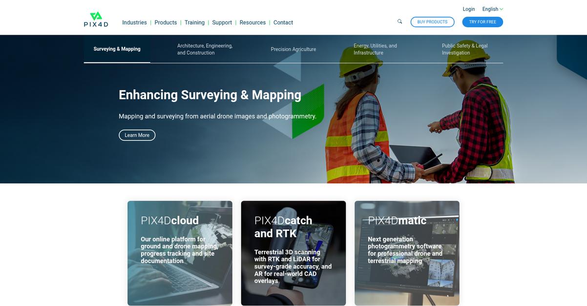
Pix4D offers specialized tools like PIX4Dcloud for online mapping and PIX4Dmatic for professional photogrammetry. This means you can confidently compare providers.
You’ll find it addresses your pain points by offering solutions for industries like surveying, construction, and agriculture, ensuring your projects meet specific industry compliance standards.
Transitioning to solutions, you’ll see how Pix4D streamlines your workflows.
Pix4D provides cloud solutions like PIX4Dcloud for online drone mapping and site documentation, simplifying data management. This helps you track progress effectively.
You can also leverage PIX4Dcatch and RTK devices for terrestrial 3D scanning with survey-grade accuracy, ideal for accurate project results and real-world CAD overlays.
Additionally, their PIX4Dmatic software offers next-generation photogrammetry software for both drone and terrestrial mapping, ensuring you get professional outputs. Plus, you can explore their enterprise solutions for scalability and dedicated support, perfect for your organization’s needs.
The result: optimized project outcomes.
While we’re discussing optimizing project results, my article on how to manage your marketing channels provides valuable insights for broader business growth.
Key features:
- PIX4Dcloud provides an online platform for ground and drone mapping, progress tracking, and comprehensive site documentation, simplifying project oversight and collaboration.
- PIX4Dcatch and RTK offer terrestrial 3D scanning with RTK and LiDAR for survey-grade accuracy, enabling precise data capture and real-world CAD overlays.
- PIX4Dmatic is next-generation photogrammetry software designed for professional drone and terrestrial mapping, ensuring high-quality, reliable outputs for various industries.
Learn more about Pix4D features, pricing, & alternatives →
Verdict: Pix4D’s comprehensive suite of tools, including PIX4Dcloud for online mapping and PIX4Dcatch for survey-grade accuracy, makes it ideal for your project needs. Its industry-specific solutions and enterprise options ensure compliance, scalability, and measurable ROI, making it one of the best drone services available.
Conclusion
Overwhelmed by drone service options?
I get it. You’re trying to find a service for your company that delivers real ROI without getting bogged down in complex features and compliance headaches.
Research confirms that drone surveying enables quicker, safer, and cheaper inspections. This shift isn’t just about new tech; it’s about fundamentally improving project accuracy and efficiency in demanding sectors.
Here’s my top recommendation.
From everything I’ve seen, DroneDeploy excels at solving this. It unifies all your site data, from aerial to ground, giving you complete visibility and control.
What I love is its unified reality capture. Implementing one of the best drone services like this one helps you prevent costly rework and enhance site safety with its powerful AI.
I highly recommend you book a free demo of DroneDeploy. See for yourself how it unifies site data and enhances project visibility.
You’ll start delivering better projects, on budget.


